Full disclosure – I haven’t walked that much in the Bluestacks, which is probably some sort of sacrilege in Donegal hill walking circles. Without a doubt this is a magnificent range, once you get up there, but it can be a tough ascent and descent, with difficult navigation. An ordinance survey map (Sheet 11) is essential, but even that can’t fully chart the reality of bogland, tussocks and numerous crags that at best will slow progress and at worst could lead to a fall.
Nevertheless, this circuit that takes in the impressive Lough Belshade, and brings you into the central Bluestacks, is well worth doing, provided you are an experienced hill walker or enlist one as your guide. The first problem is to find the trailhead! It is at the end of a small side road at the northern end of Lough Eske. (OS ref: 973871). The best thing is to head for Harvey’s Point hotel but continue straight on the road past the turn for the hotel itself. keep an eye on your odometer and after 4 km you should come to a bend to the left with a ‘walking man’ post where the aforementioned minor road goes straight on. Follow it until it ends at a couple of outbuildings and park carefully out of the way.
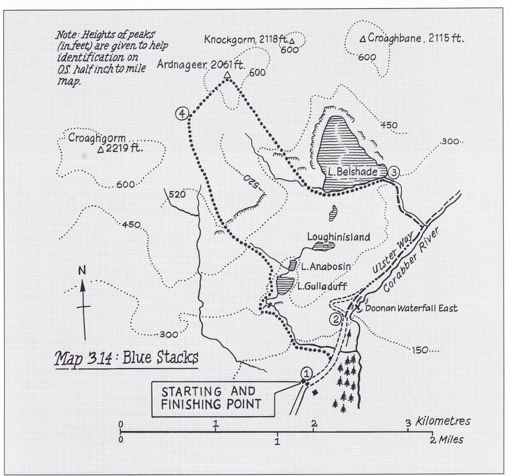
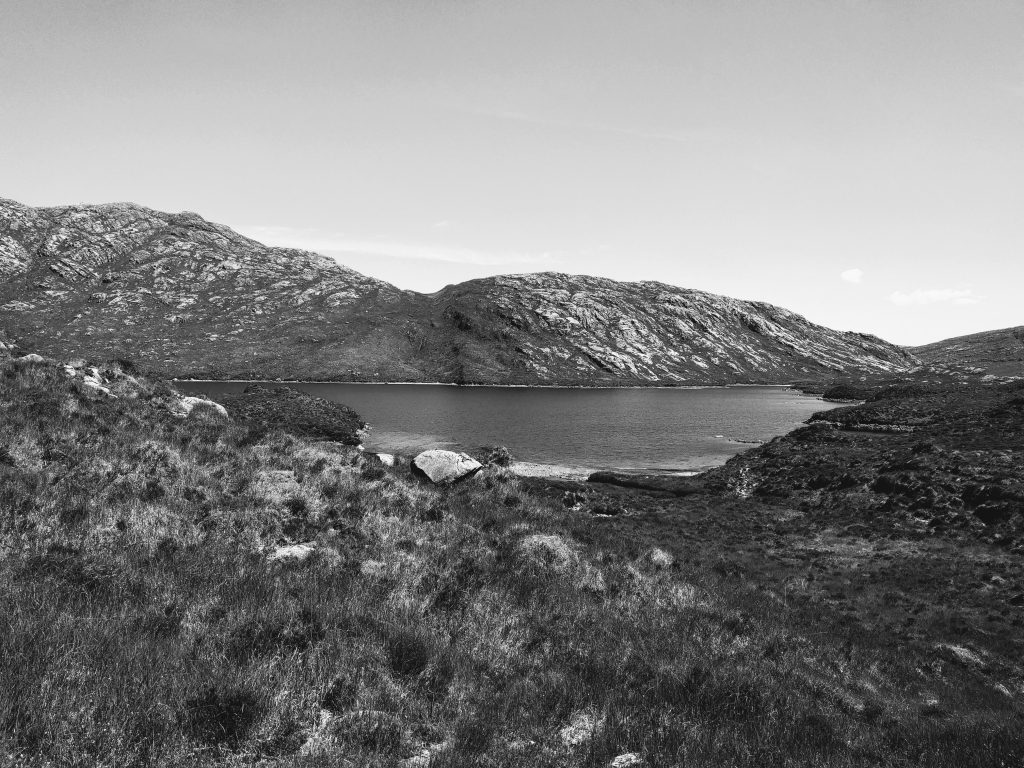
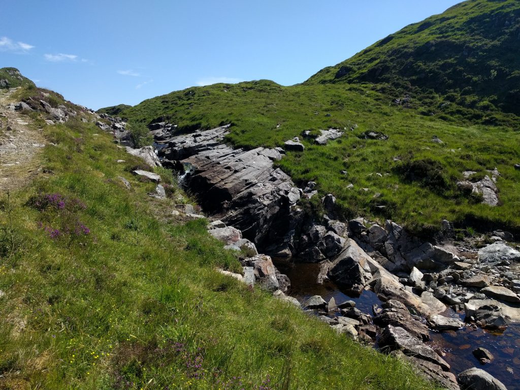
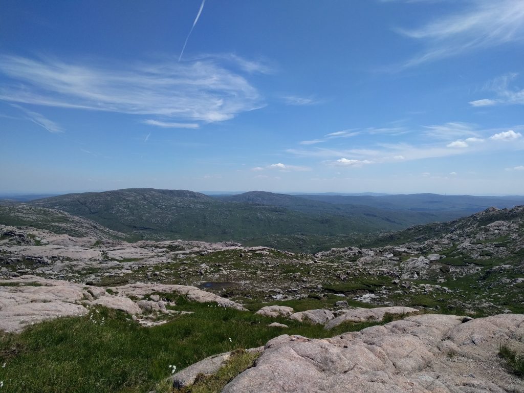
The route starts on a track that you need to follow with the Corabber River on your right until you come to a flat and very damp valley. When you see a distinctive U bend in the river continue for about 120 m until you see a rough path to the left beside a smaller stream. Follow the path through boggy ground and finally over a rise where you should find Lough Belshade, ringed by huge rock slabs on its northern side opposite you. Head along the southern shore on a path that peters out, then pick up another stream at the bottom left corner of the lake. Follow this stream for a short distance then cross it and head north west to climb through rocky ground to reach find a bewildering expanse of crags, bog huge slabs of granite.

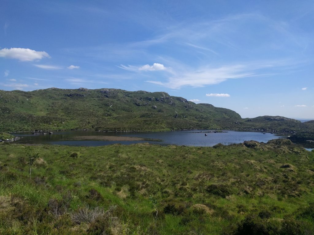
The Descent to Lough Gulladuff.
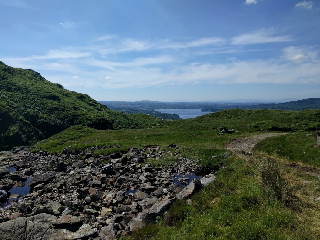
You can now decide to head on as far as Ardnageer, a long trek, or veer gently to the west to reach the big wedge of rocky country that stretches south-east back towards your starting point. A fair way to go yet! Descend gradually down this spur, keeping to your right (West) so that you avoid steep crags at its end. Your next task is the steep climb down towards Lough Gulladuff in front of you. When you reach it walk along the western shore to pick up a stream emanating from it. Keep to the right of this stream and veer away to the west of it where there are small cliffs at a waterfall. It is now a slog through tussocks, keeping the stream on your left again, until you pick up the track on which you started the day. Turn left onto the track and walk back to your car.
- Trailhead: At the end of a minor road north of Lough Eske near Donegal Town.
- Distance: 10.5 km (Approx. 16 km adjusted for climb)
- Time: 4 – 5 hours.
- Ascent: 580 m.
SAFETY
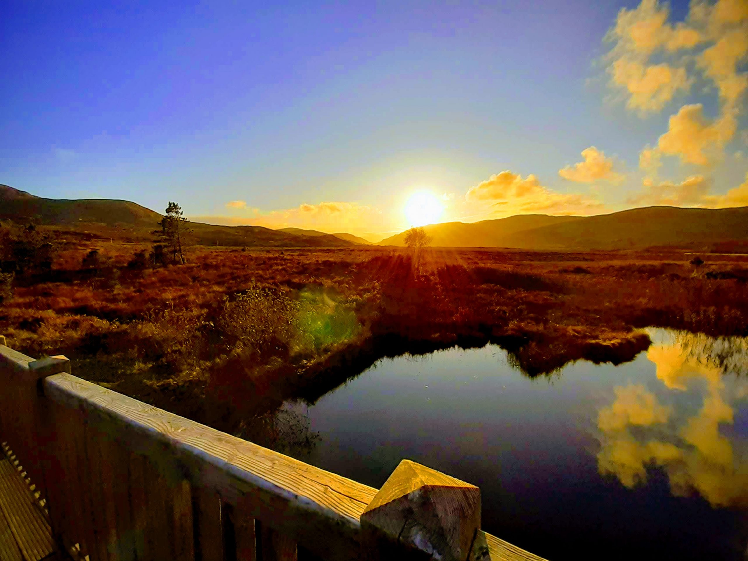
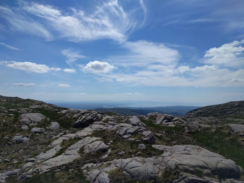
This is a very challenging hill walk and I cannot stress enough the need for good boots, poles and a map, as well as food and water. To be avoided in any kind of bad weather. I last climbed it on the driest day of a heatwave and it was still very damp in spots, needing a lot of care on the descent in particular. The big reward is the view in all directions and the amazing terrain to which my photographs cannot really do justice.