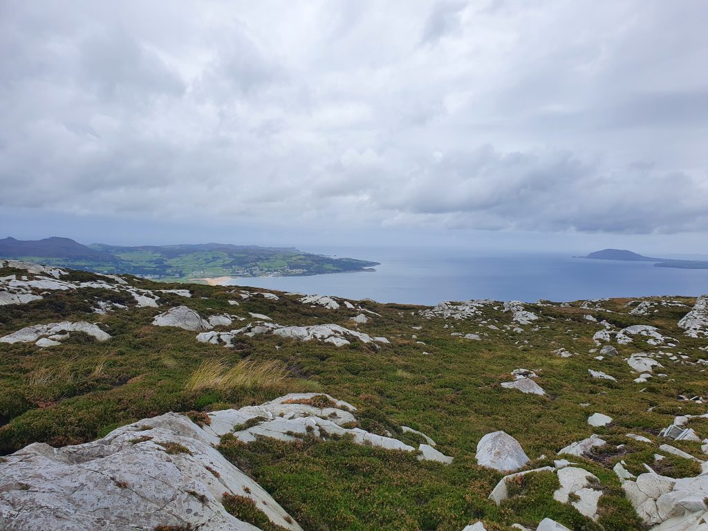
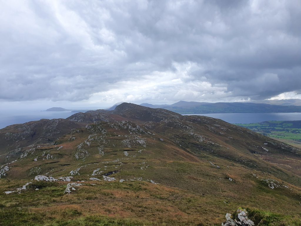
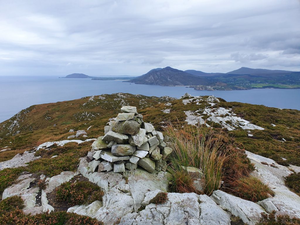
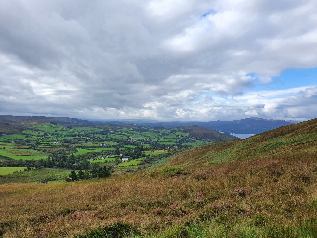
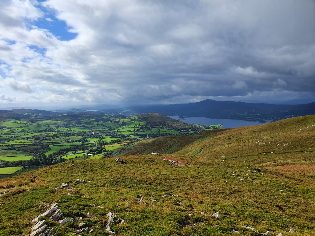
I first hiked the Knockalla Ridge, also known locally as The Devil’s Backbone, years ago with a good friend who lives close by and knows the route well. It was the first of many enjoyable days on this mountain. The views from on top are amazing and and if you were to pin me down to one hill walking route in Donegal, this would be it. Like a huge jagged edge, it’s undulations are physically demanding and a profusion of heather and ferns makes for tricky descents in particular. But those views of Lough Swilley, Fort Dunree, The Urris Hills, Fanad Head and Horn Head make it all worthwhile.
I do need to emphasise that this is a demanding hike over mountain terrain and you need to be an experienced hill walker or have one with you. Full hiking boots and poles are essential, as is clear and not too windy weather.
This is an A to B hike and generally I have found it easier to go west-east, A being a lay by at Shanky, north of Kerrykeel village, and B the small viewing area on the Knockalla Coast Road above Warden Beach. Because of this it demands a two car setup or a long suffering driver to drop you at Shanky and pick you up at the end! Let’s say you have two cars. Drop one at the viewing area above Warden Beach. It is marked ‘Ballymastocker Beach Viewpoint’ on Google Maps. It’s quite distinct and has a brown Wild Atlantic Way sign. To get from here to the start, head southward on the R268 coast road for 2.9 km and watch for a right turn on to a minor road towards Glenvar. There should also be a tourist sign for ‘Way of the Cross’ Proceed on this road for 4.7 km, passing Glenvar Church on the way. You should now see the lay by on your right just at the junction and this has plenty of room to park. At last you are ready to go!
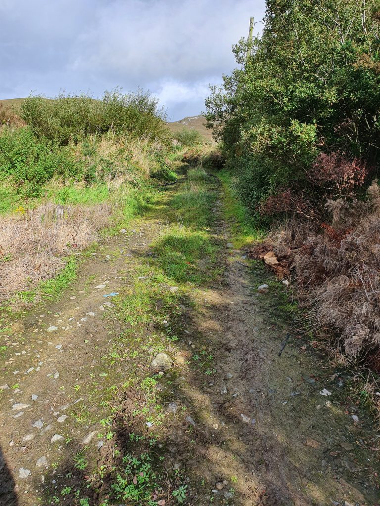
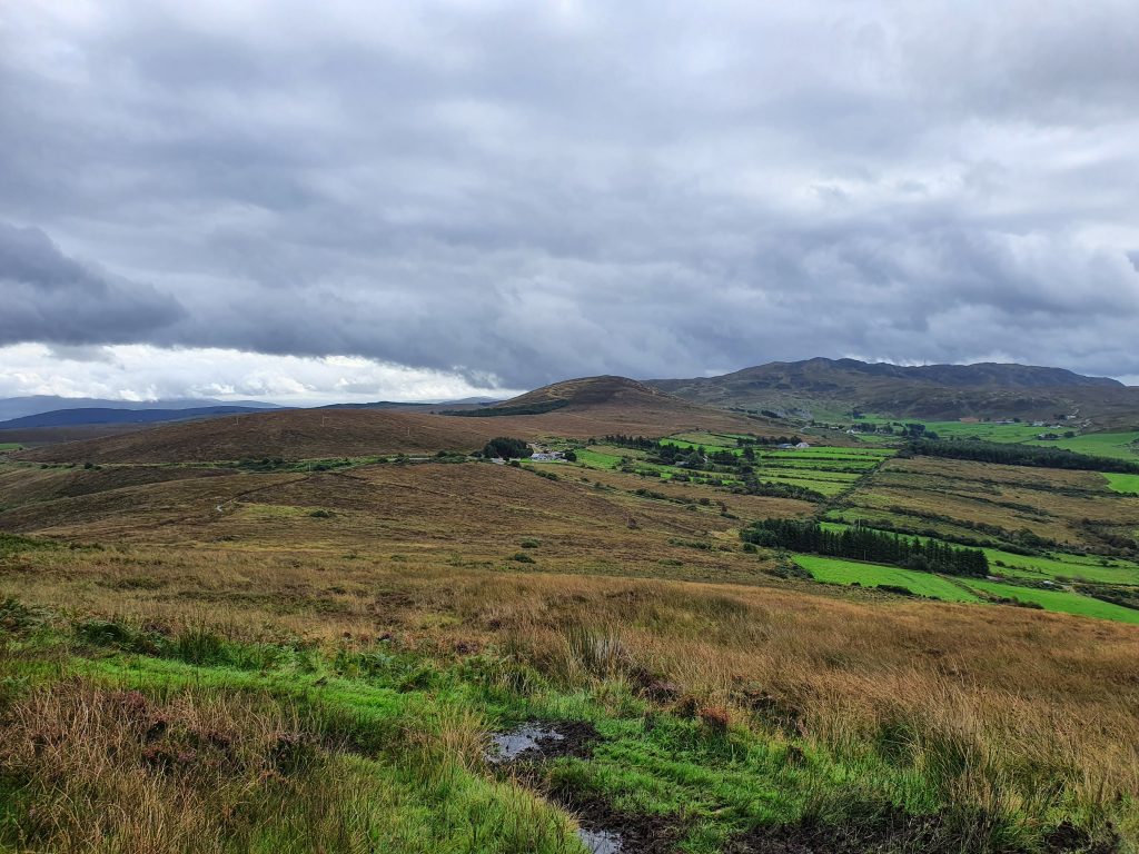
From the lay by walk SW round the bend for a very short distance to find a track on your right. Follow this track, it can be damp in spots, toward the high ground. It will wind it’s way up the hillside and will deteriorate into a muddy path. When the path starts to level off and you see a gap ahead it’s time to veer right upward onto the start of the ridge. From here on you begin to traverse open high ground in a north easterly direction all the way.
I’ll break the main route from here into a series of points:
- Make sure you stay more toward the right side of the ridge as you proceed.
- The terrain is mostly good and firm on the first half of the route but be wary of rabbit holes and some slippery ground.
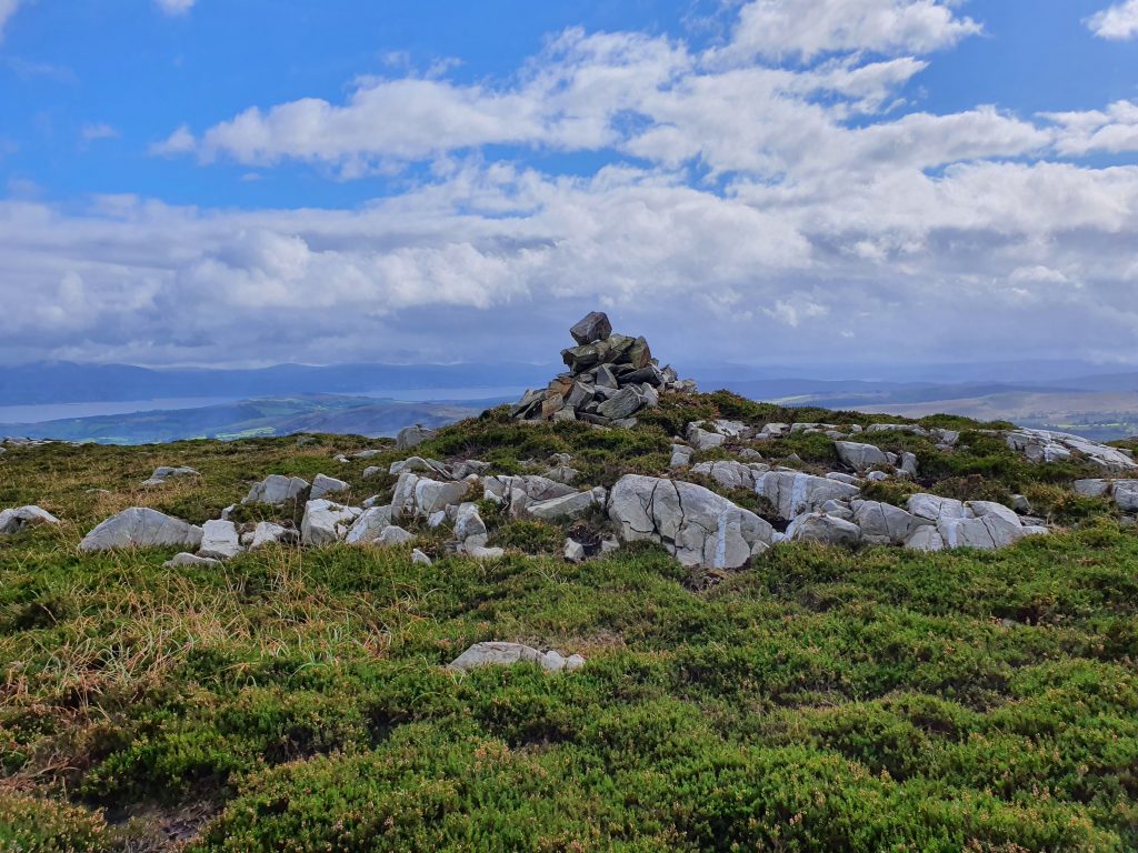
- You will pick up a number of sheep tracks on the way. I’ts good to follow them but always pay attention to your navigation. There is a distinct peak ahead with a cairn atop to keep you right.
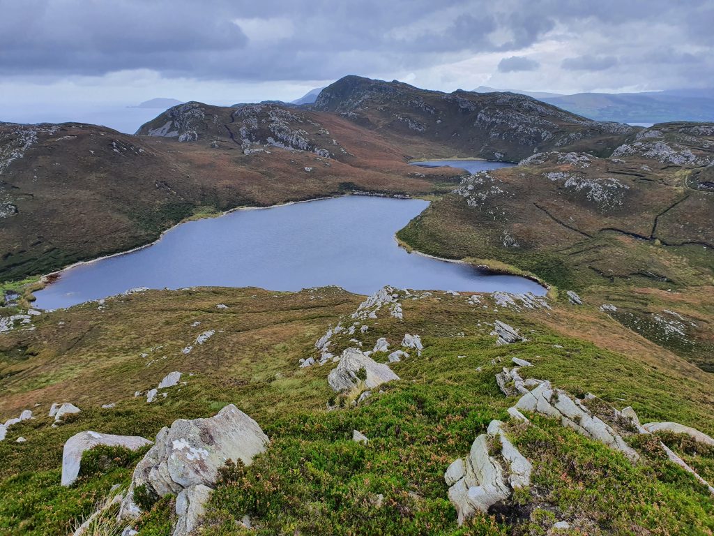
- Your first main target is a pair of lakes with a distinct track running in front and to the right side of them. It is important to descend the slope to the right to avoid crags and even then work your way down carefully, making valuable use of your poles, to pick up the track and follow it past the two lakes, which should be on your left.
- Follow the track until it winds off to the right and then leave it to strike out for the higher ground ahead. Remember to stay toward the right side and you should pick up another track that will lead you onward.
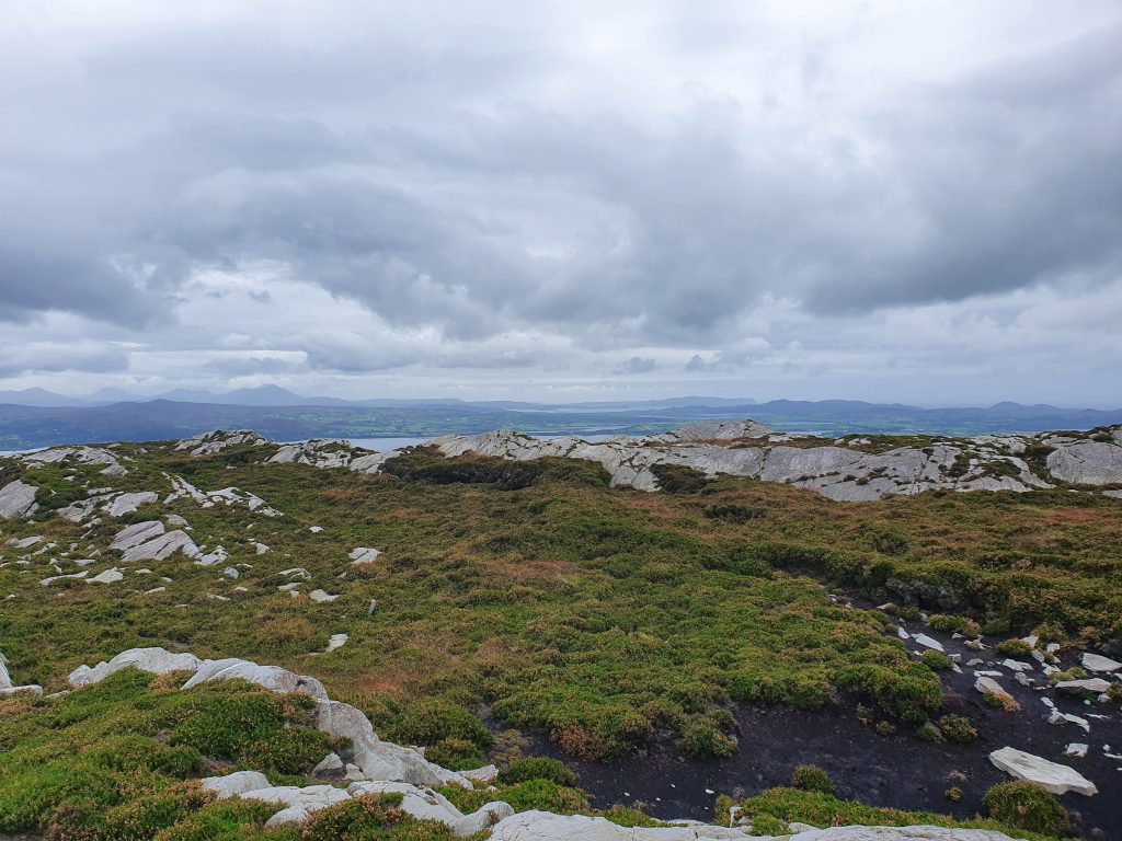
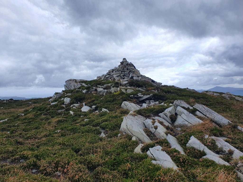
- From here navigation is fairly straightforward. You continue in a north east direction staying slightly right of centre of the ridge. Two simple rules apply from now on. Keep to higher rocky ground whenever possible and look out for cairns. They are sometimes hard to spot in this landscape where there are no clear peaks but are great for keeping you right.
- You will find some short climbs in the final section and a couple of descents that require care. There is one particularly steep downhill to a small coll where it’s easier to stay over on the right and be vigilant for bogholes!
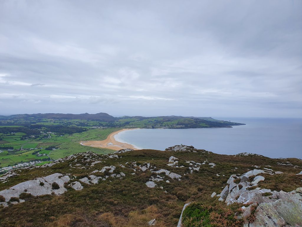
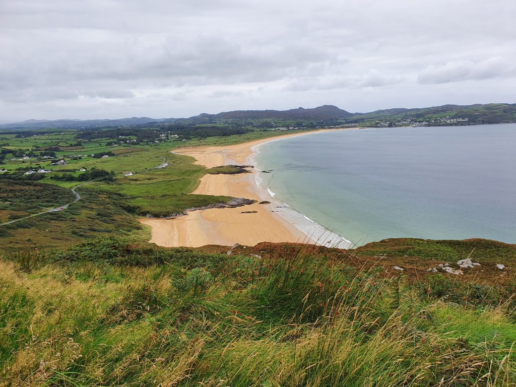
- Again, there are clear enough tracks to pick up at times on this bit and by now you should have a nice view of Ballymastocker Bay and Warden beach to the north. Keep going over a mix of bog and rock past a couple more cairns until you are directly level with the beach on your left. Now veer left (north) toward your final descent to the viewpoint.
- This last descent is a bit tricky and is not to be rushed. You will come down to a ledge from where you can see the little viewpoint lay by and your car. Look carefully for a point where the ground is not to steep and pick your way down carefully. There is usually a blanket of ferns and heather on the slope so probe well with your poles for rocks and holes. Don’t come a cropper so close to home! You should eventually hop out onto the coast road about 50 m south of the viewpoint and a short walk up to your car. Now just retrace the earlier route back to pick up the second vehicle.
- Trailhead: Lay by at Shanky, north of Kerrykeel village on R247
- Facilities: Cafes in Kerrykeel and Portsalon.
- Distance: Approx. 6 km
- Time: 3.5 – 4 hours depending on pace
- Ascent: Knockalla Mountain is 363 m high.
- Note: the route can be walked in the SW direction from the viewpoint but in my opinion this is generally into any prevailing wind and yields tougher climbs.