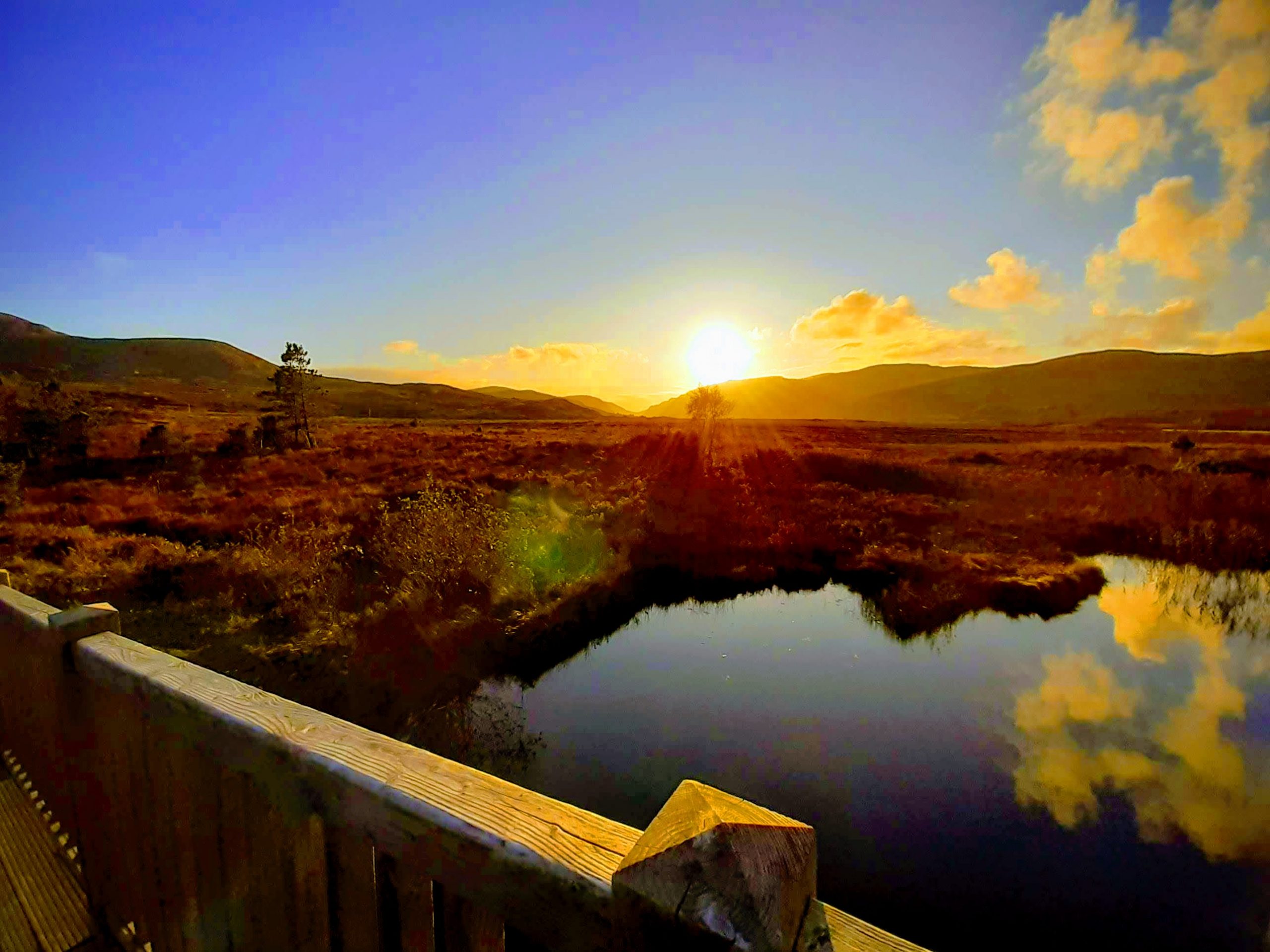
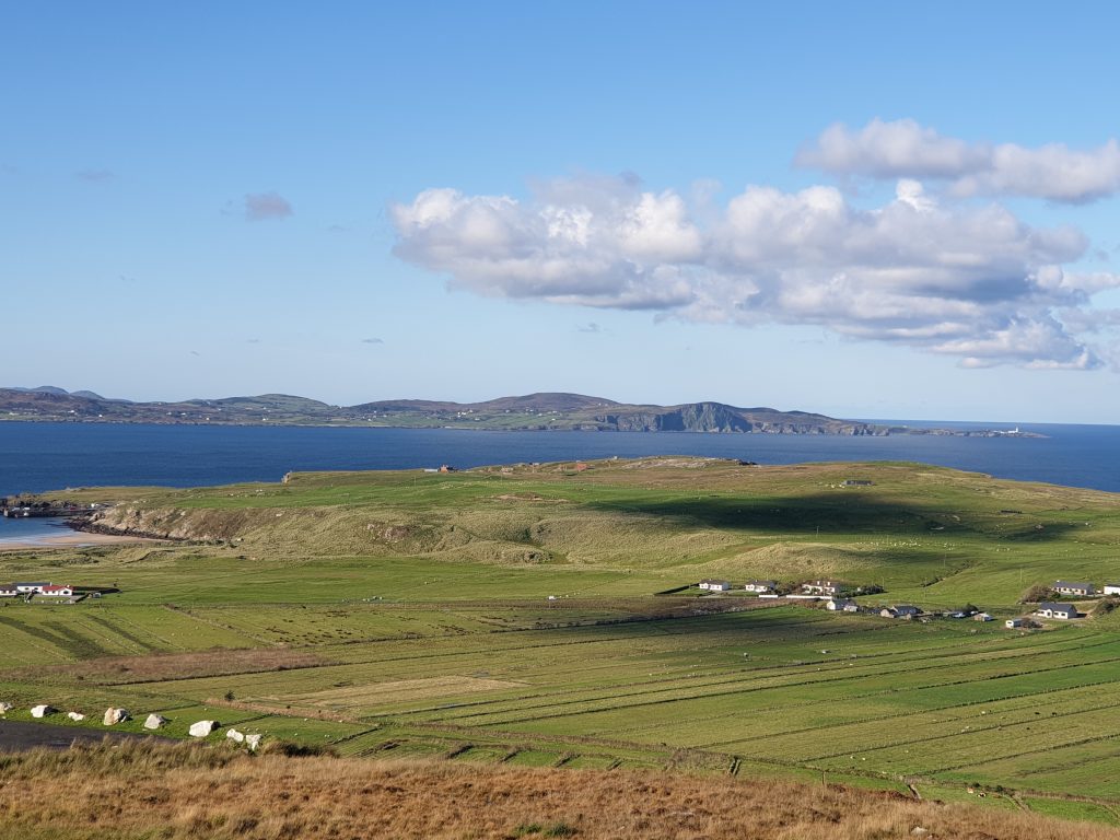
Lying between the village of Clonmany and the Gap of Mamore on the Inishowen peninsula, The Butler’s Glen loop is a great day’s hiking and climbing that rewards your efforts with beautiful views of the surrounding countryside and west toward Fanad head.
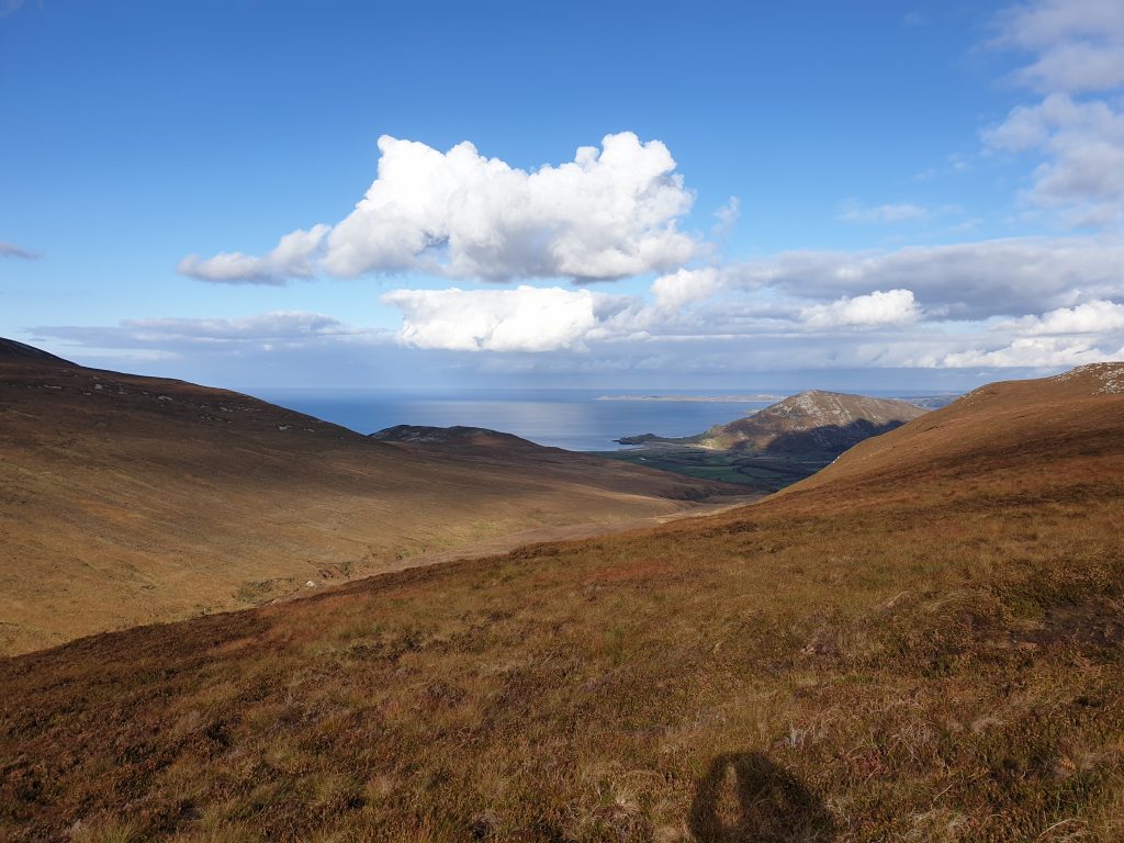
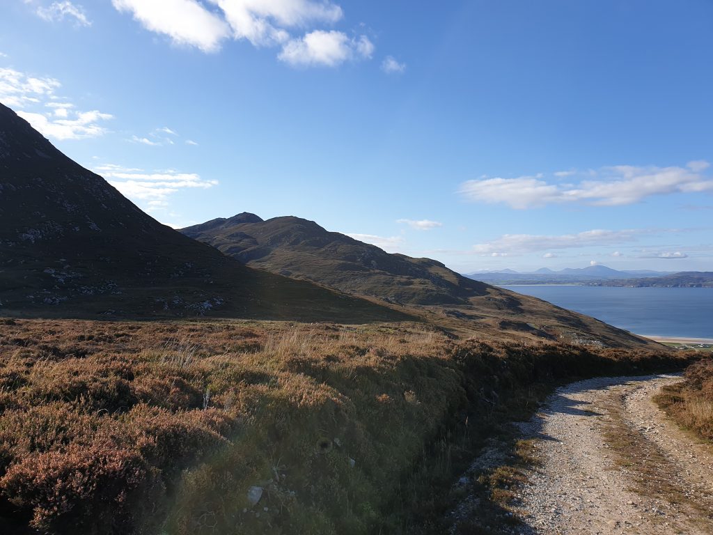
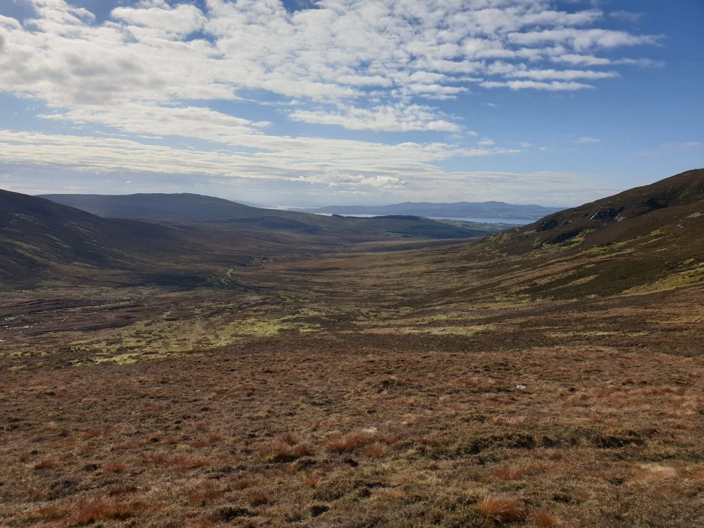
This is a walk for fit and experienced walkers only although it is well waymarked. The route offers an unfolding backdrop of the rugged coastal scenery of north Donegal with panoramic views in all directions. Starting at the spectacularly located car park on the north side of the Gap of Mamore, this route takes the walker into the heart of Inishowen’s hills.
To get to the start, head west out of Clonmany village and keep going straight at the first junction. Continue for 6.7km with a hill on your right until you come to a right turn, which you need to take and proceed for 2.8km where there is a car park on the right side of a bend. At this point you will be mesmerised by the views and possibly terrified by the steep slopes of Mamore Gap so you need to be alert for the car park.
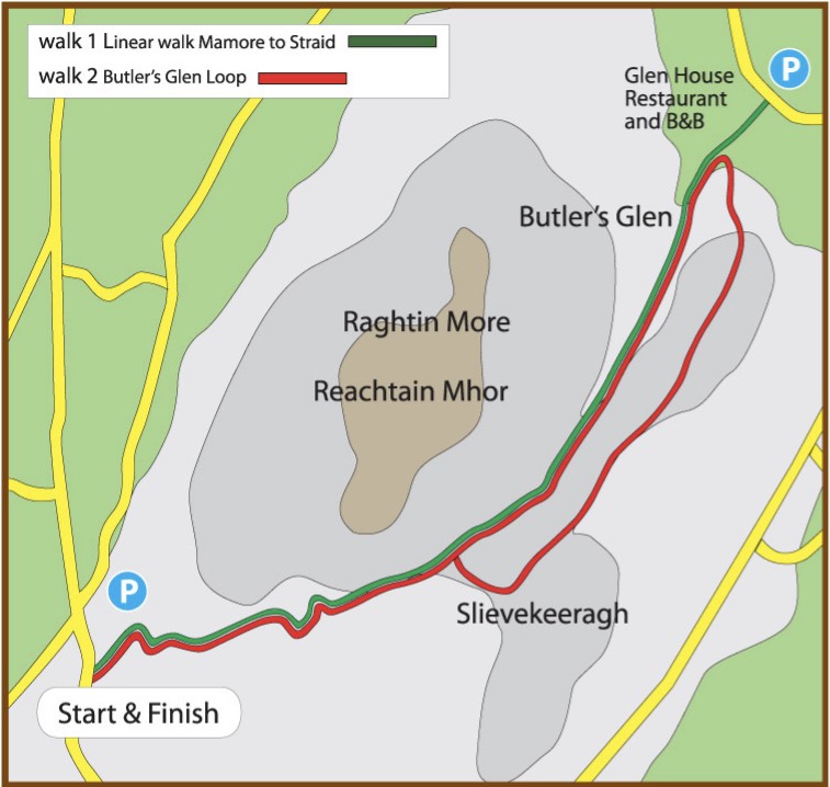
The walk starts uphill on a winding gravel track of good quality. It is now important to look out for the waymark posts, which are white arrows on a purple background. I did this route in a clockwise direction that took me down through the valley on a path that was very rough in spots and needed poles for stability. Further down the track improves until you reach the turn at a point just above some outbuildings. At this stage you can walk on down to the Glen House bar and B&B if you have arranged a pick up (See linear option below.).
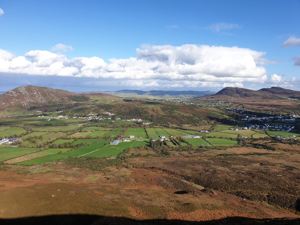
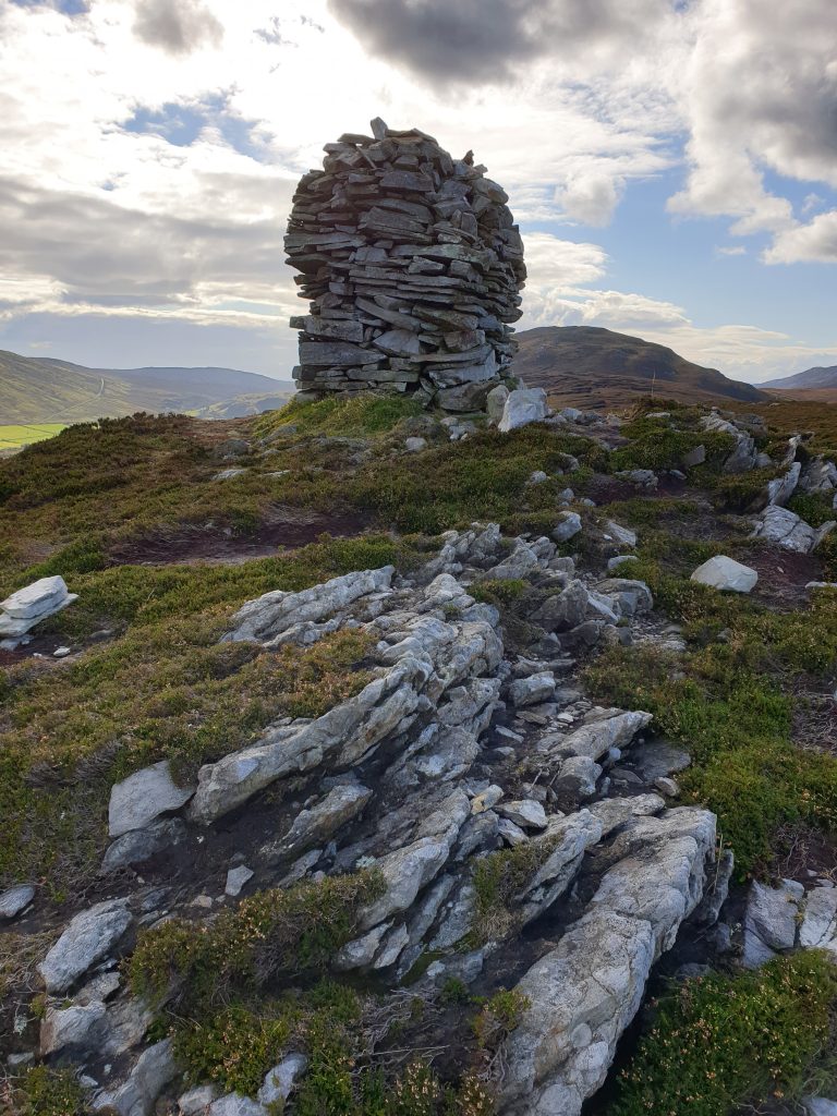
To continue the loop turn right over rough ground and following the waymarks steeply uphill to the top of the ridge from where there are great views over Clonmany and south towards Buncrana. After you pass a small cairn, you should now pick up a narrow but distinct path that takes you along the ridge in a south west direction, then gradually downhill to veer right over to meet the track you started down the valley on earlier. From here turn left and make your way back to the gravel track that leads you down to the car park. Of course the loop may be walked counterclockwise if desired.
It is also possible to do a shorter version as a linear walk (Mamore to Straid) with same trail head and finishing point at Glen House car park. This requires two cars or a friendly driver to drop you at Mamore and pick you up.
- Trailhead: Viewing point car park at the north end of Mamore Gap.
- Distance: 10.5 Km.
- Time: 2.5 – 3 Hours.
- Ascent: 220m
- Waymarking: Black posts with white arrows on purple discs.
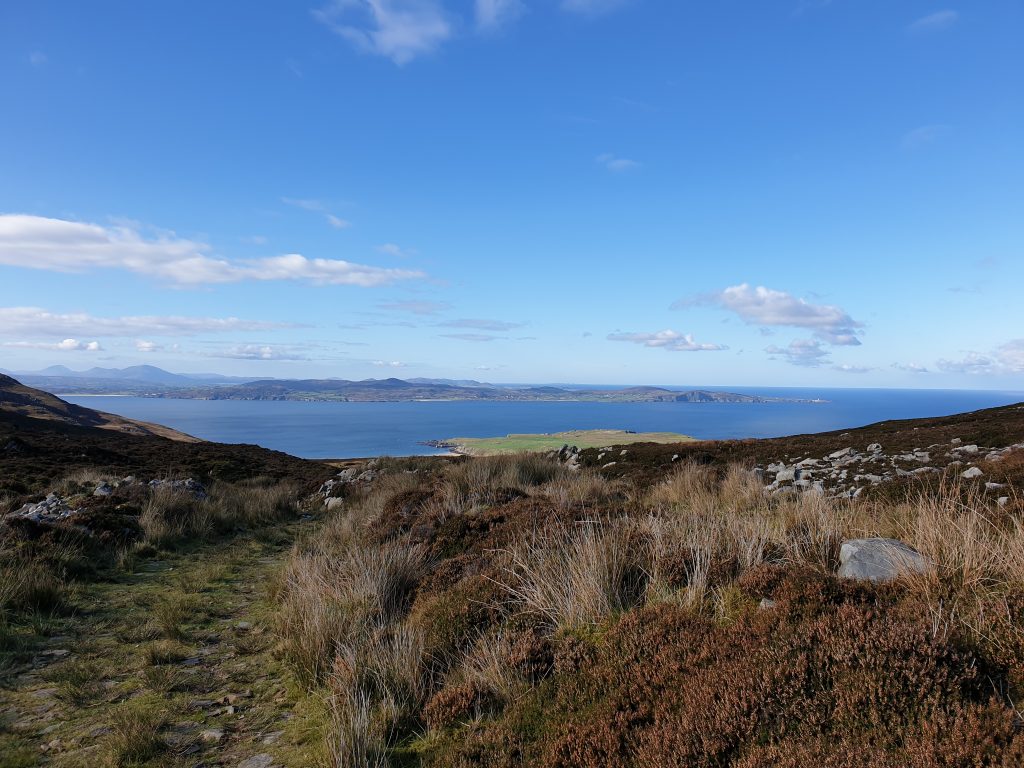
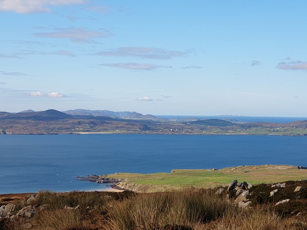
View back toward Buncrana