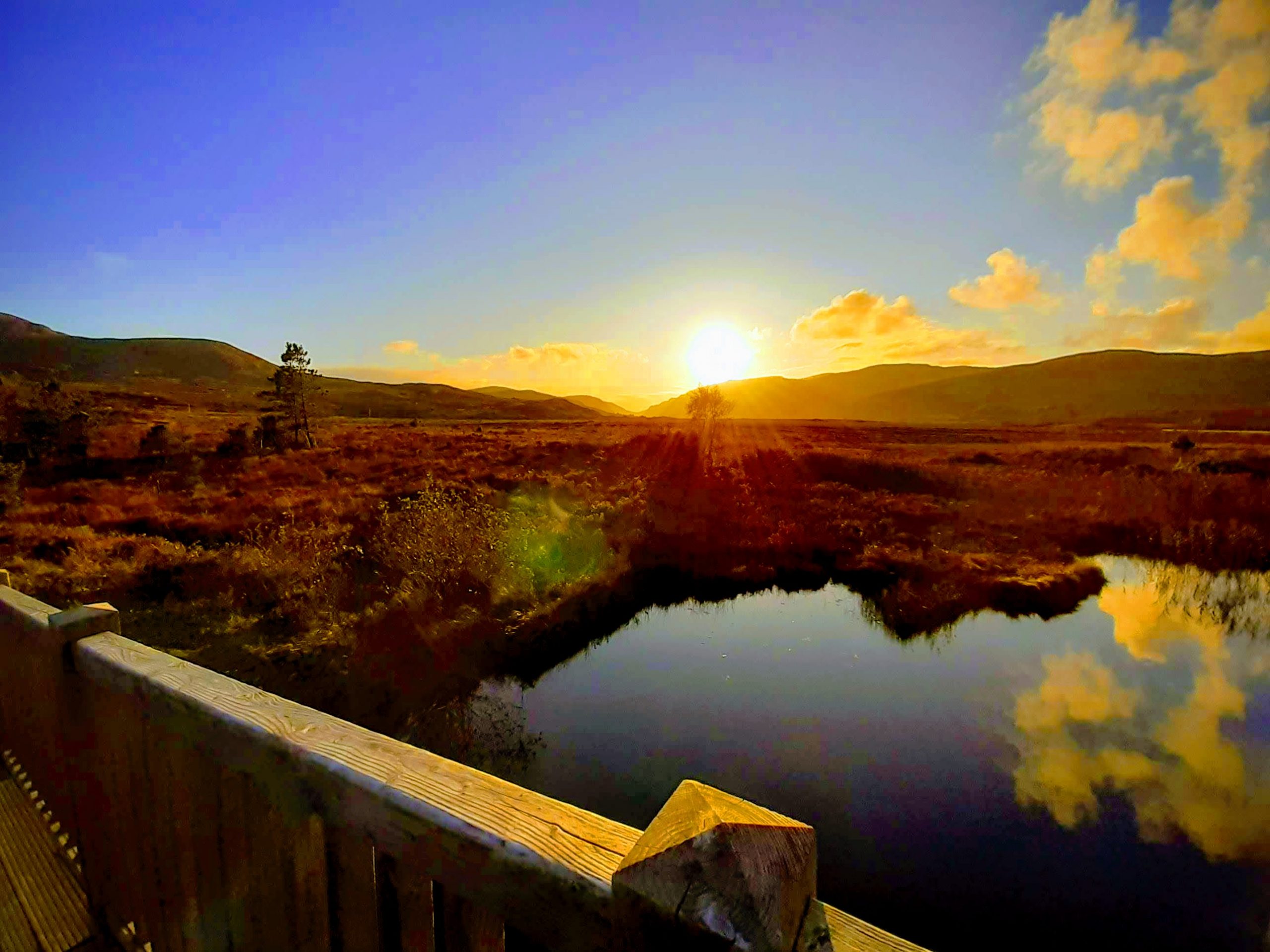
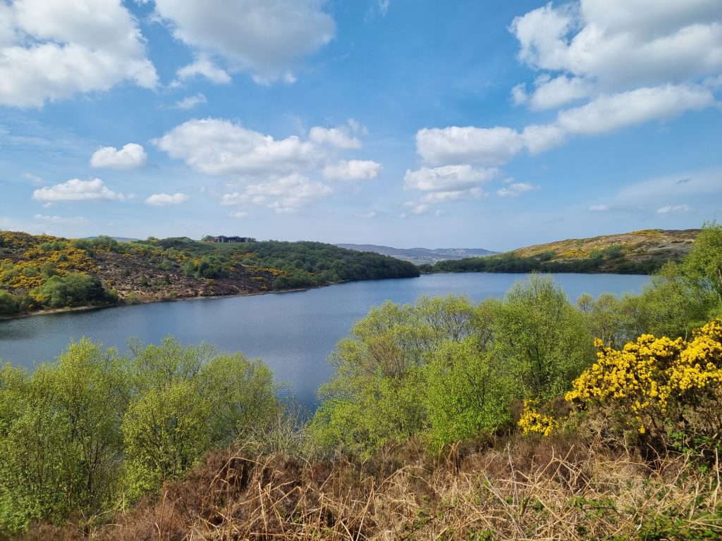
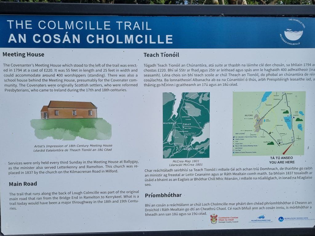
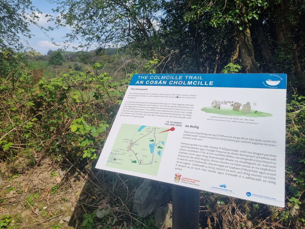
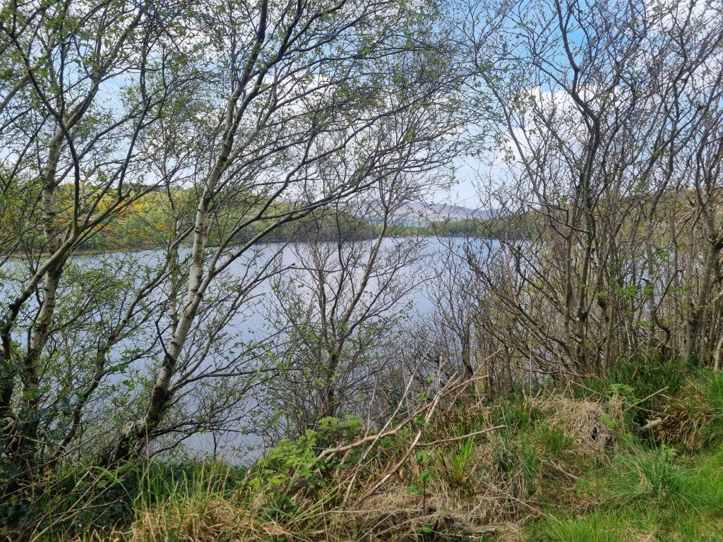
I have decided to classify this route as an easy walk but with the caveat that there are some climbs on it. I would describe the full loop as a plod and reward situation, the plod being a bit of tarmac walking at the start and finish. Please note that high vis clothing is essential as the roads can be busy. The reward is a gloriously scenic 2.5 km middle stretch on gravel track that borders the substantial Lough Colmcille near the town of Milford. At around 7.8 Km this is a good substantial walk and as a bonus there are some very nice information boards on the central trail that will fill you in on local history and the association with St Colmcille.
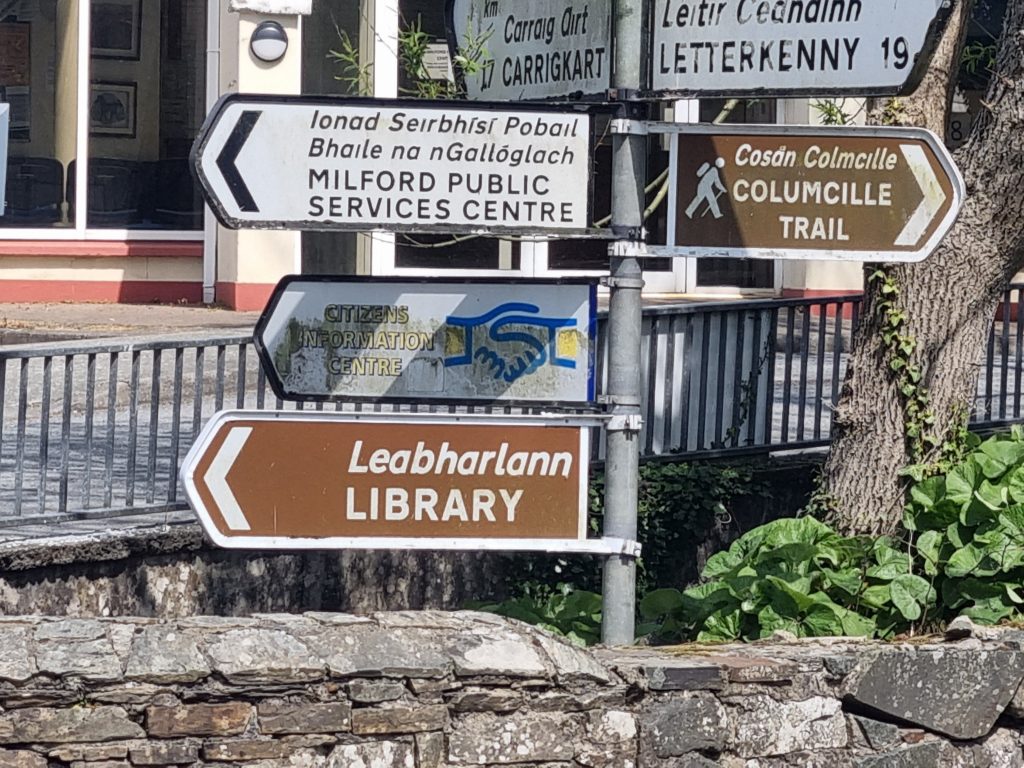
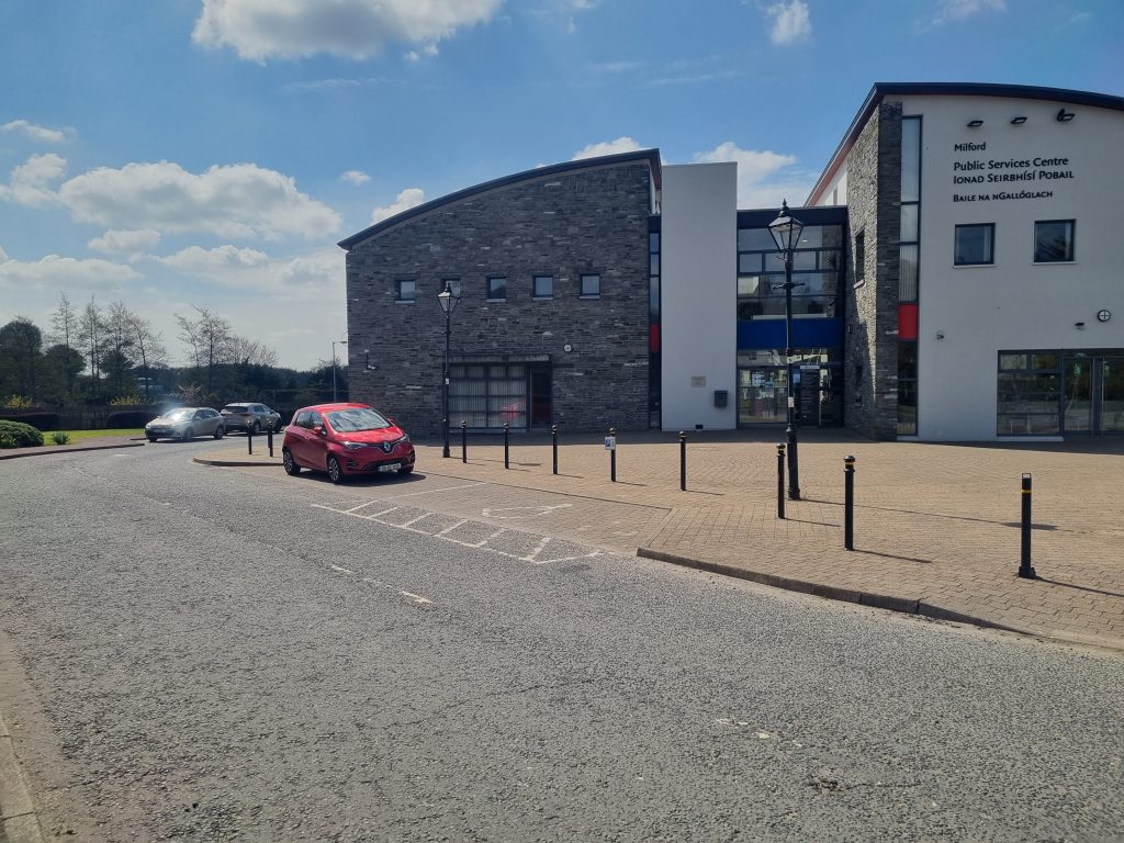
This looped walk can be started at a number of points (see map below), but I chose to park at the Donegal County Council Public Services building at the bottom of the town. To get there from Letterkenny/Ramelton, drive into Milford and down the hill past the RC church on the right. At the bottom of the slope take the second left turn into the PSC and park in one of the spaces or in the back car park.
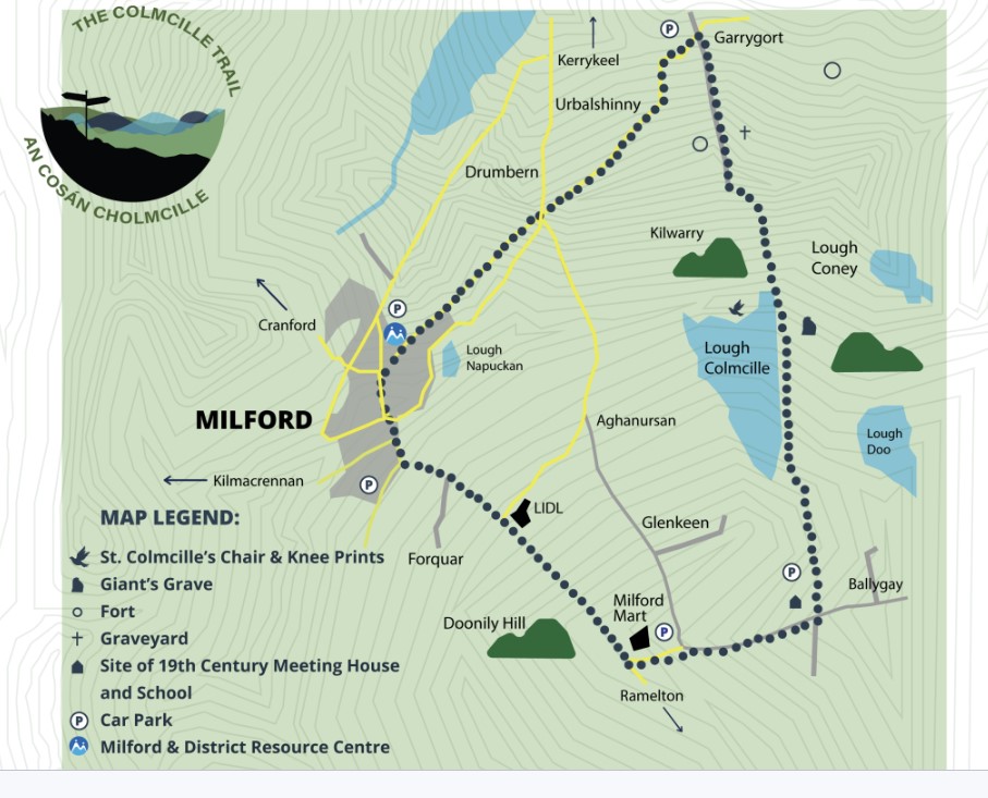
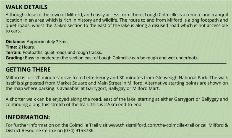
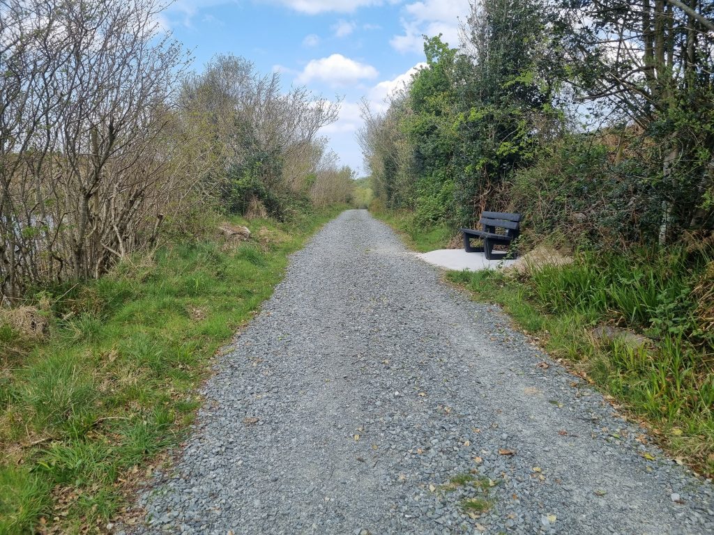
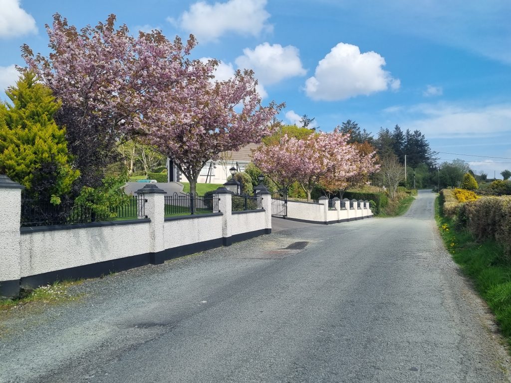
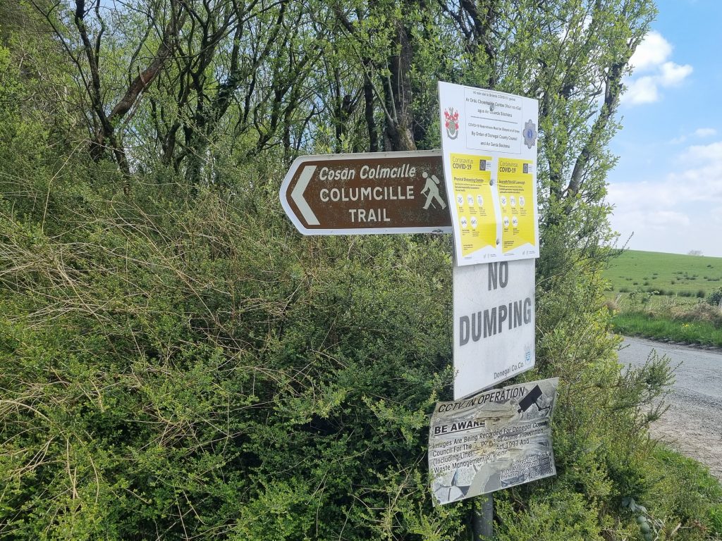
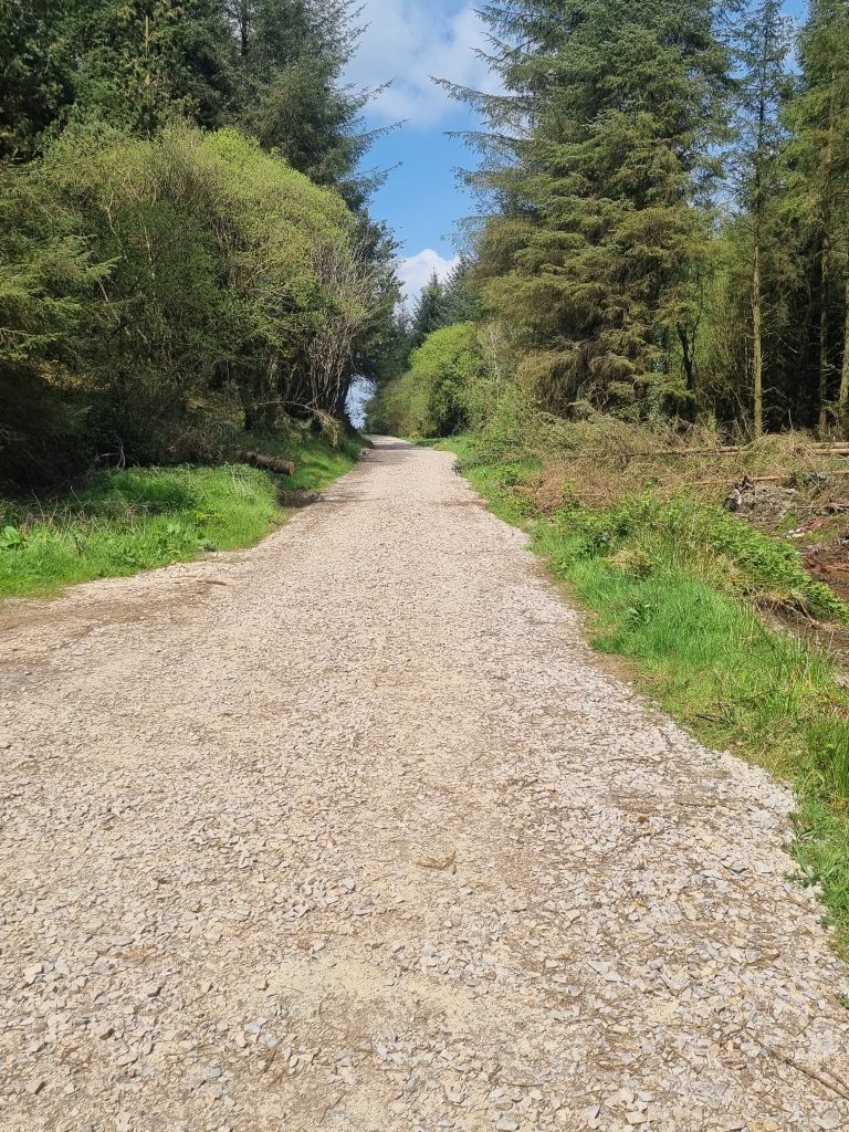
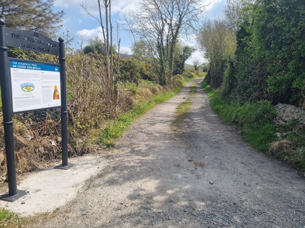
I did the route in an anti-clockwise direction as this gets the least enjoyable bit of road over first. From the PSC follow the brown direction sign to the right and uphill past the church (pavement). Continue out of Milford and pass a junction followed by LIDL, at which point you lose the footpath and you need to walk on the road margin on the RHS. Pay attention to traffic on this short 200m section. You then need to cross the road to continue left past the Milford cattle mart at which point you start to climb. Pass through a small crossroads and then uphill for about 600m until you see a turn to the left with a brown waymark sign for the Colmcille Trail. You are now on the gravel track, which undulates gently up and down for 2.5 km. Soon the lake reveals itself and though there is a lot of hedging there are a couple of lovely viewpoints, particularly one with seats that looks out to an ancient crannóg.
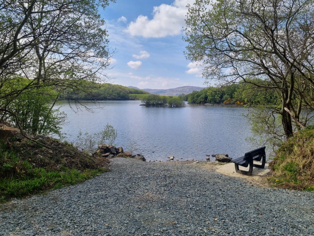
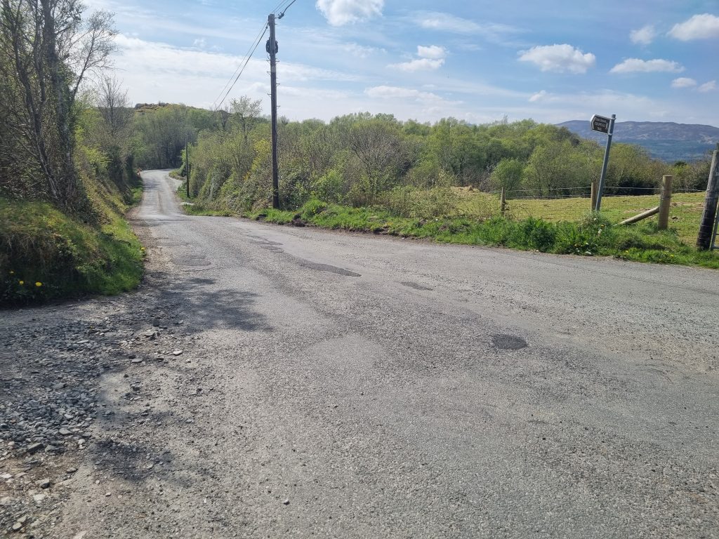
You will eventually come to a minor road again at which point turn left and follow the road past a number of houses down to the junction where the R246 out of Milford to Kerrykeel and Fanad meets the bypass road. Cross this junction carefully and continue straight on the R246 back into Milford. At the main street, turn left and then cross the street to return to the PSC on the right and your car.
Shorter Varation.
There is a small car park at the start of the gravel section from where you can simply walk the track along past the lake and back, turning whenever you want.

- Trailhead: Milford Public Services Centre.
- Facilities: Cafes in Milford and nearby Kerrykeel.
- Length: 7.5 km
- Duration: 1.5 – 2 Hours depending on pace.
- Ascent: Some mild climbing.